Where the Bhagirathi River Meets Modern Engineering
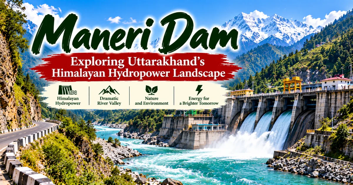
Maneri Dam is a notable landmark in Uttarkashi district, Uttarakhand, where the powerful Bhagirathi flows through a dramatic Himalayan valley.
Located near the town of Uttarkashi, the dam is associated with the Maneri Bhali hydroelectric project, which harnesses river water to generate electricity.
Surrounded by steep mountain slopes, rocky riverbanks, and winding roads, Maneri offers travellers a different perspective on the Garhwal Himalayas, one that combines natural scenery, infrastructure, energy production, and the challenges of developing essential services in a mountainous region.
Unlike the temples, alpine meadows, and traditional villages that attract many visitors to Uttarkashi, Maneri Dam highlights the relationship between Himalayan rivers and modern engineering. It also raises important questions about water management, environmental protection, energy security, and the effects of infrastructure on mountain communities. For travellers exploring Uttarkashi district, the area provides an opportunity to understand how the region's rivers contribute to life far beyond the mountains themselves.
Where Is Maneri Dam Located?
Maneri Dam is located near Maneri village in Uttarkashi district of Uttarakhand, along the Bhagirathi River. It lies on the road connecting Uttarkashi with the upper Himalayan valleys and the pilgrimage destination of Gangotri. Because of this position, travellers passing through the area may notice the dam and the associated river infrastructure while journeying towards higher elevations.
Continue Reading
The surrounding landscape is characteristic of the middle and upper Garhwal Himalayas. Steep slopes rise on either side of the river valley, and the road follows the natural contours of the terrain. Rocky hillsides, patches of vegetation, settlements, and the river itself form the visual setting around the project.
The area is geographically important because the Bhagirathi is one of the principal headstreams of the Ganga. Its waters originate in the high Himalayan region associated with the Gangotri Glacier and flow through a succession of mountain valleys before eventually joining the Alaknanda at Devprayag. The combined river is then known as the Ganga.
Maneri Dam forms part of the infrastructure developed to use the energy of this mountain river. Its location illustrates why Himalayan valleys have attracted interest for hydropower development: flowing water and steep elevation differences can create opportunities to generate electricity.
However, the mountainous setting also presents engineering challenges. Roads and infrastructure must accommodate difficult terrain, variable weather, river flows, and the geological characteristics of the region. These factors make the planning and maintenance of mountain projects more complex than comparable work in many flat landscapes.
What Is Maneri Dam?
Maneri Dam is associated with the Maneri Bhali hydroelectric project, an important component of Uttarakhand's hydropower infrastructure. The project uses water from the Bhagirathi River to support electricity generation.
Hydropower systems convert the energy of moving water into electrical energy. In a typical arrangement, water is directed through infrastructure designed to control its movement and use the difference in elevation to drive turbines. The turbines turn generators, producing electricity that can be supplied to the power network.
The specific configuration of a hydroelectric project depends on its engineering design, the river's characteristics, the available elevation difference, and the way water is transported through the system. In mountain regions, projects may use diversion structures, tunnels, channels, and powerhouses to take advantage of the natural landscape.
Maneri is associated with the first stage of the Maneri Bhali project. The wider project reflects the use of the Bhagirathi River as an energy resource, while the downstream stage forms part of the broader hydropower system in the valley.
For visitors, the dam is best understood as part of a larger network rather than as an isolated structure. Its importance lies in the way river water is managed and directed for electricity generation.
Access to operational infrastructure may be restricted for safety and security reasons. Travellers should observe the site only from permitted public areas and should not attempt to enter restricted zones or approach equipment without authorisation.
The Maneri Bhali Hydroelectric Project
The Maneri Bhali project is an important part of Uttarakhand's history of hydropower development. It reflects the effort to use the energy potential of Himalayan rivers to support electricity production.
The first stage of the project is associated with Maneri, while the second stage is associated with the Tiloth area near Uttarkashi. Together, the stages illustrate how a river system can be used through connected infrastructure rather than through a single structure operating independently.
The development of hydropower in mountain regions is influenced by several factors. These include the amount and seasonal pattern of river flow, the elevation available for energy generation, the geological stability of the surrounding area, and the feasibility of building and maintaining access roads and other infrastructure.
Such projects can contribute to regional electricity supplies and broader energy networks. They can also support employment during construction and operation, although the distribution of benefits varies according to project arrangements and local circumstances.
At the same time, hydropower development can create environmental and social concerns. Changes in river flow, construction activity, sediment movement, land use, and the effects of infrastructure on nearby communities require careful consideration.
Understanding the Maneri Bhali project therefore involves more than appreciating the engineering. It also requires recognising the responsibilities associated with using a Himalayan river for large-scale energy production.
Why Are Himalayan Rivers Important for Hydropower?
Himalayan rivers descend through landscapes with significant changes in elevation. This creates conditions that can be suitable for hydropower because water moving downhill contains energy that can be converted into electricity.
In a conventional hydropower system, water is directed through a turbine. As the water moves through the system, it transfers energy to the turbine, which drives a generator. The generator converts mechanical energy into electrical energy.
The amount of electricity that can be produced depends on factors including water flow, the available difference in elevation, and the efficiency of the system. A river with strong flow and a substantial elevation difference may offer considerable energy potential, although actual generation varies according to seasonal conditions and operational requirements.
The Bhagirathi is important in this context because it flows through steep Himalayan terrain. Its water is part of a larger river system that supports ecosystems, communities, agriculture, cultural traditions, and religious practices.
Hydropower planning must account for these different functions. A river cannot be considered solely as an energy resource because it also sustains aquatic habitats and forms part of the lives and livelihoods of people living along its course.
In the Himalayas, these considerations become especially important because the terrain is geologically active and the region experiences earthquakes, landslides, intense rainfall, and other natural hazards. Responsible infrastructure planning must consider both energy needs and the characteristics of the environment in which a project operates.
Maneri Dam provides a useful starting point for exploring these questions within the context of Uttarakhand.
The Bhagirathi River: A Sacred and Natural Resource
The Bhagirathi River is central to the identity of the Maneri area. Its importance extends beyond electricity generation because the river is associated with the religious traditions, natural environment, and everyday life of the Garhwal Himalayas.
In Hindu tradition, the Ganga is revered as a sacred river, and the Bhagirathi is recognised as one of its principal headstreams. The river's upper reaches are connected to pilgrimage landscapes, particularly the Gangotri region.
For many devotees, the river represents spiritual purification, devotion, and the continuing relationship between humanity and the natural world. The mountains, glaciers, and streams of the upper Himalayas form part of the sacred geography associated with the Ganga.
The river also has an ecological role. It transports water and sediment through the valley, supports aquatic and riverbank habitats, and contributes to the wider hydrological system of northern India.
For settlements along the river, water is connected to practical needs as well as cultural meaning. Communities depend on reliable water resources, roads, and other infrastructure, while also facing the risks associated with river flooding, erosion, and changing environmental conditions.
The use of the Bhagirathi for hydropower must therefore be considered alongside these other roles. Electricity production is one part of the river's importance, not its entire purpose.
Visitors can appreciate the river's landscape while remembering that mountain rivers are dynamic natural systems. Water levels can change, riverbanks may be unstable, and access to the water should always be approached with caution.
The Landscape Around Maneri Dam
The landscape around Maneri Dam offers a distinctive view of the Garhwal Himalayas. The river moves through a narrow valley bordered by steep rocky slopes, while the road follows the terrain towards the upper reaches of Uttarkashi district.
Unlike destinations defined by broad meadows or dense forests, the immediate surroundings of the dam have a rugged character. The exposed rock, uneven slopes, and river channel reveal the powerful geological forces that have shaped the region.
The appearance of the valley changes with the weather and season. During periods of clear weather, the contrast between the river, mountain slopes, and surrounding vegetation may be especially visible. Cloud cover and rainfall can create a more dramatic atmosphere, while also making travel more difficult.
Vegetation varies according to elevation, slope orientation, soil conditions, and water availability. Patches of trees and shrubs appear where the terrain supports them, while exposed sections of rock dominate other areas.
The road through the valley is also part of the experience. It connects settlements and provides access to the upper Himalayan region, but it requires careful driving because of bends, changes in elevation, and the possibility of weather-related disruptions.
Travellers should not treat every roadside section as a safe viewpoint. Parking and photography should take place only where permitted and where vehicles and pedestrians can remain clear of traffic.
The area's beauty comes partly from the contrast between natural terrain and human infrastructure. The dam, river, road, and surrounding mountains show how people have developed ways to work within a demanding landscape.
The Connection Between Maneri and Uttarkashi Town
Uttarkashi town is an important administrative, cultural, and transport centre in the district. Maneri Dam lies along the wider travel corridor connecting the town with destinations farther north.
For visitors, this makes the dam a possible point of interest during a broader journey through Uttarkashi district. Travellers heading towards Gangotri or exploring the Bhagirathi valley may encounter the surrounding landscape along the way.
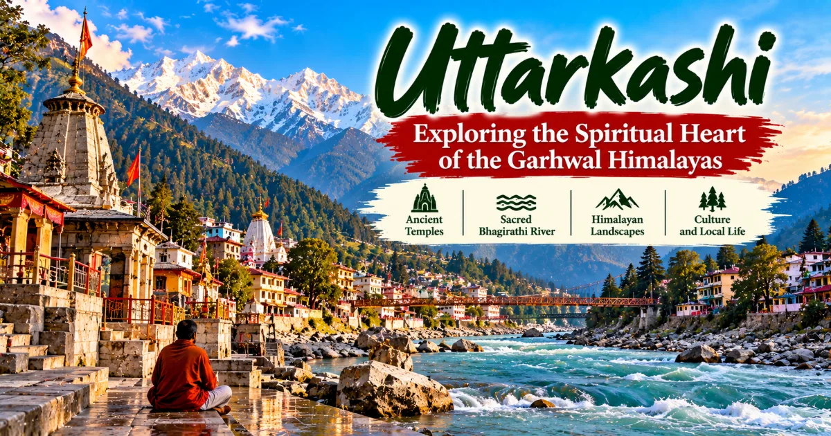
Uttarkashi itself is known for religious landmarks such as Kashi Vishwanath Temple and Shakti Temple. Its riverfront areas, local markets, and institutions associated with mountain education contribute to its identity.
Maneri offers a different perspective on the district. Whereas the town's temples reveal the region's spiritual traditions, the dam highlights infrastructure, energy production, and the modern use of river resources.
These experiences complement each other because they demonstrate that Uttarkashi is not defined by a single activity. The district combines religious pilgrimage, agriculture, tourism, education, mountain adventure, and infrastructure development.
A traveller who explores both the town and the surrounding valley can gain a broader understanding of how people interact with the Himalayan environment.
It is sensible to plan a visit to Maneri as part of an existing journey rather than assume that the dam requires a separate long excursion. The exact route and available stopping points should be confirmed locally, particularly when weather or road conditions are changing.
Hydropower and Regional Development
Electricity is essential for households, schools, hospitals, businesses, public services, and industrial activity. Hydropower projects such as those associated with the Maneri Bhali system form part of the infrastructure used to meet these needs.
In mountainous regions, electricity generation can be connected to broader development goals. Reliable energy can support public facilities, commercial activities, communication networks, and other services that are important for modern life.
Hydropower can also contribute to the diversification of electricity sources. Unlike electricity generated by burning fossil fuels, hydropower does not require fuel combustion during the generation process. However, this does not mean that hydropower projects have no environmental effects. Construction, land use, changes to river conditions, and the materials used in infrastructure can all create impacts that require assessment.
The contribution of a project to regional development depends on its design, operating performance, connections to the electricity network, employment arrangements, and relationship with surrounding communities.
Local residents may experience both benefits and challenges. Infrastructure can improve connectivity and create economic opportunities, but construction and changes to land or water systems can also affect livelihoods and the local environment.
Responsible development requires transparent planning, appropriate environmental safeguards, monitoring, and meaningful consideration of community concerns.
Maneri Dam offers an opportunity to reflect on these issues. It demonstrates the role that mountain rivers play in electricity production while reminding visitors that development decisions affect a complex social and ecological landscape.
Environmental Considerations Around Himalayan Dams
Hydropower development in the Himalayas requires careful attention to environmental conditions. The region contains steep slopes, sensitive river ecosystems, and landscapes affected by natural hazards.
One important issue is river flow. Depending on the design and operation of a project, water may be diverted through tunnels or other infrastructure before returning to the river. The timing and amount of water remaining in particular stretches can influence aquatic habitats and riverbank conditions.
Sediment is another concern. Mountain rivers transport material eroded from slopes and channels. Changes to the movement or storage of sediment can affect river morphology, infrastructure performance, and downstream environments.
Construction activity may also influence slopes, vegetation, and local drainage. In a region where landslides are a recurring hazard, careful geological assessment and appropriate engineering practices are essential.
The cumulative effects of multiple projects deserve attention as well. A river system may be affected by several developments along different stretches, making it important to consider the wider watershed rather than evaluating every structure in isolation.
Environmental management can include monitoring river flow, protecting habitats, managing construction waste, maintaining slope stability, and assessing potential effects on local communities.
Visitors can contribute in small but meaningful ways by avoiding litter, respecting restricted areas, and not disturbing riverbanks. They should also recognise that the environmental questions associated with hydropower are complex and cannot be answered simply by labelling every project either beneficial or harmful.
A balanced understanding considers electricity needs, environmental protection, community interests, and the long-term resilience of mountain landscapes.
The Himalayas and Natural Hazards
The Himalayan region is shaped by active geological processes. The movement of tectonic plates has contributed to the formation of the mountains, while erosion, rainfall, river activity, and temperature changes continue to alter the landscape.
These processes create natural hazards that affect communities and infrastructure. Landslides can block roads, heavy rainfall can cause flooding, and earthquakes can damage buildings or other structures. Snow and ice can also affect travel and infrastructure at higher elevations.
Hydropower projects in this environment require careful assessment of geological and hydrological conditions. Engineers must consider the stability of slopes, the behaviour of river systems, and the possibility of extreme events.
The presence of a dam does not remove natural hazards from the surrounding landscape. Visitors should follow official instructions, remain outside restricted areas, and avoid approaching infrastructure during adverse weather.
Road conditions can change rapidly in mountain regions. Travellers should check current information before departure and allow flexibility in their plans.
During heavy rainfall, it is particularly important to avoid standing beneath unstable slopes or stopping near sections of road where falling rocks and debris may occur. Riverbanks should also be treated cautiously because water levels and currents can change.
Understanding the region's natural hazards does not mean avoiding the Himalayas altogether. It means recognising the environment, preparing appropriately, and making decisions based on current conditions rather than assumptions.
Local Communities and Life Along the Bhagirathi Valley
The communities of Uttarkashi district have developed ways of life shaped by mountain geography, seasonal weather, agriculture, trade, and the movement of people through the valleys.
Villages along the Bhagirathi corridor depend on connections with nearby towns and other settlements. Roads are important for access to education, healthcare, markets, employment, and essential supplies.
Agriculture remains part of rural life in many areas, although the crops and methods used vary according to elevation, terrain, and local resources. Terraced fields are a familiar feature of mountain agriculture because they make cultivation possible on sloping land.
Tourism and transport also contribute to local economic activity. Drivers, shopkeepers, accommodation providers, guides, and food businesses may serve travellers moving through the district.
Infrastructure projects can influence these communities in different ways. Construction and operation may create employment and support economic activity, while land requirements, changes to water systems, and disruption during construction can also create difficulties.
The experiences of local residents should not be assumed to be identical. Different households may have different relationships with a project depending on where they live, what work they do, and how changes affect their land or resources.
Visitors can support local communities by using reliable local services, respecting residential areas, purchasing appropriate local products, and avoiding waste.
A responsible visit recognises that the valley is not simply a scenic corridor. It is a place where people live, work, and maintain relationships with the land and river.
Photography Around Maneri Dam
The Maneri area can interest photographers who enjoy river landscapes, mountain roads, rocky terrain, and the contrast between natural features and engineered structures.
The Bhagirathi River provides a strong visual element, while the surrounding slopes create a sense of depth. Depending on the permitted viewpoint, the dam infrastructure may also offer an opportunity to observe how human construction fits into the valley.
Morning and afternoon light can change the appearance of the river and rock surfaces. Cloud cover may add atmosphere, although poor visibility can reduce the quality of landscape views.
Visitors should prioritise safety when taking photographs. The road through the valley may be narrow in places, and stopping without a safe parking area can create risks for both pedestrians and vehicles.
The dam is operational infrastructure, so photography may be restricted in particular locations. Travellers should follow posted instructions and seek clarification from authorised personnel if the rules are unclear.
Drones should not be used without confirming that their operation is lawful and permitted in the area. Sensitive infrastructure and local restrictions may limit their use.
A photograph should never require entering a restricted zone, approaching dangerous water, or standing in a place where traffic cannot pass safely.
Responsible photography allows visitors to record the landscape while respecting the safety, security, and environmental needs of the region.
Best Time to Visit Maneri Dam
The most suitable time to visit Maneri depends on weather conditions, road accessibility, and the wider itinerary. Because the area lies along a mountain road, travellers should check current conditions before setting out.
Spring and summer may offer comfortable conditions for exploring the Bhagirathi valley, although temperatures and weather can vary with elevation. The landscape may appear greener in periods when vegetation is growing and water is flowing through the surrounding terrain.
Autumn can provide clear mountain views during favourable weather. It may be an appealing period for travellers who want to explore Uttarkashi district without the frequent rainfall associated with the monsoon.
The monsoon season requires additional caution. Heavy rain can lead to landslides, road disruptions, and changes in river conditions. Travellers should avoid relying on a fixed schedule when the weather forecast indicates a risk of severe rainfall.
Winter can bring cold temperatures, particularly in higher parts of the district. Conditions on mountain roads may be affected by snow, ice, or other weather-related hazards in some areas.
Maneri Dam is not necessarily subject to the same seasonal opening schedule as high-altitude pilgrimage destinations, but that does not guarantee unrestricted public access to the structure or surrounding areas. Operational and security rules may apply throughout the year.
Before travelling, confirm road conditions and whether any local restrictions affect the planned stopping points.
How to Reach Maneri Dam
Maneri Dam is accessible by road from Uttarkashi town and lies along the route towards Gangotri.
By Road
Travellers can approach Maneri from Uttarkashi using the road that follows the Bhagirathi valley. The journey provides views of the river, surrounding settlements, and mountain slopes.
Because the road passes through mountainous terrain, travel times depend on traffic, road conditions, and weather. Drivers should move carefully, especially on bends and sections where visibility is limited.
Visitors should stop only at permitted locations with adequate space away from moving traffic. The dam itself may not offer unrestricted access to every part of the facility.
By Rail
Uttarkashi does not have a major railway station serving the town directly. Travellers commonly use rail connections to Rishikesh or another suitable transport centre before continuing by road.
Train schedules and onward transport should be checked when planning the journey. Depending on arrival times, an overnight stay may be useful before travelling further into the mountains.
By Air
Jolly Grant Airport near Dehradun is a commonly used airport for visitors heading towards Uttarkashi district. From there, travellers continue by road.
The road journey through the mountains requires time and flexibility. It is sensible to avoid arranging a tight connection immediately after the expected arrival in Uttarkashi.
Local Transport
Taxis and other local transport services may be available in Uttarkashi for travel towards Maneri and the upper valleys. Availability and prices depend on demand, time of year, and the arrangements made with the driver.
Visitors should confirm the return journey in advance if they are relying on hired transport. They should also ask the driver about safe stopping points and any restrictions affecting the dam area.
What to Know Before Visiting
Maneri Dam is part of operational infrastructure, not a conventional amusement attraction. Visitors should approach it with realistic expectations about public access, facilities, and the areas that may be viewed safely.
It is important to follow any signs or instructions that restrict movement. Barriers should not be crossed, and visitors should not attempt to enter tunnels, control areas, power facilities, or other restricted locations.
The river can be dangerous even when it appears calm from a distance. Strong currents, uneven rocks, and sudden changes in water levels can create hazards. Visitors should keep a safe distance from the water and avoid climbing onto unstable riverbanks.
Facilities near the dam may be limited, so travellers should carry drinking water and essential personal items. Those continuing towards Gangotri or other remote destinations should plan food, fuel, and transport according to the longer journey.
Mobile connectivity can vary along mountain roads. Travellers should not depend entirely on a continuous phone signal and should share their broad itinerary with someone they trust when undertaking longer journeys.
Visitors should also remember that weather conditions can change quickly. A clear morning does not guarantee that roads will remain unaffected later in the day.
The best approach is to treat Maneri as a short, informed stop within a broader journey through Uttarkashi district, while prioritising safety and respect for the operational site.
Nearby Places to Explore
Maneri Dam can be considered alongside other destinations in Uttarkashi district, depending on the time available and current travel conditions.
Uttarkashi Town
Uttarkashi offers temples, riverfront areas, local markets, and opportunities to learn about Garhwali culture. It is also a practical place to arrange onward travel and accommodation.
Harsil Valley
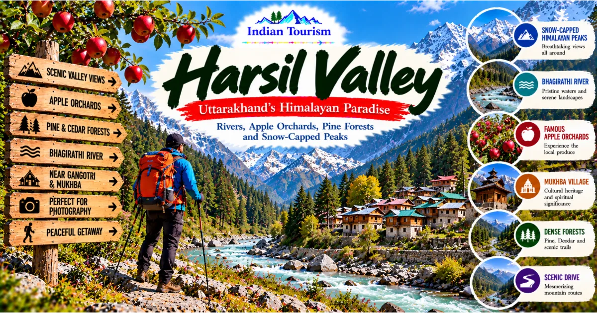
Harsil is known for its forested slopes, mountain scenery, and traditional settlements. It provides a different atmosphere from the rocky valley around Maneri.
Gangotri
Gangotri is one of Uttarakhand's most important pilgrimage destinations and is closely associated with the worship of Goddess Ganga. Its high-altitude setting makes seasonal planning essential.
Gangnani
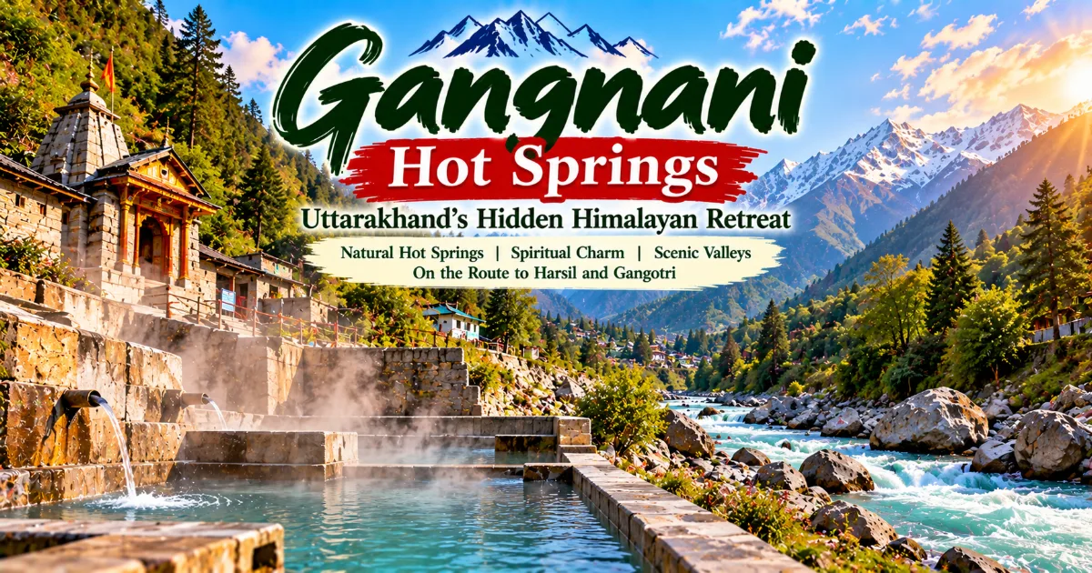
Gangnani is known for its hot springs and its position along the road towards Gangotri. Visitors should check local facilities and conditions before planning a stop.
Gartang Gali
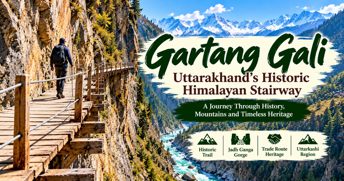
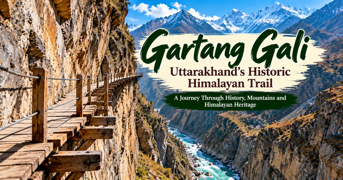
Gartang Gali is a historic cliffside trail associated with traditional Himalayan trade routes. Because it lies in a sensitive border region, travellers should verify current access requirements and any applicable restrictions.
These destinations offer different experiences, and they should not be combined automatically into a single day. Distances, travel times, road conditions, and official access arrangements can make the itinerary more demanding than a map suggests.
Suggested One-Day Visit from Uttarkashi
Travellers already staying in Uttarkashi can consider visiting the Maneri area as part of a wider exploration of the Bhagirathi valley.
The day can begin with an early departure from the town, allowing time to travel along the mountain road and observe the surrounding landscape. If stopping near the dam is permitted, visitors can appreciate the relationship between the river, the infrastructure, and the valley.
The visit should remain flexible. The availability of safe viewpoints and any restrictions on access will determine how long travellers can remain in the area.
Afterwards, visitors may continue towards another suitable location along the permitted route or return to Uttarkashi for a meal and further exploration of the town.
This itinerary is only a general planning idea. It should not be treated as confirmation that every location is open or accessible. Travellers should check current conditions before leaving.
Those planning to continue towards Harsil or Gangotri should allow additional time and verify road conditions rather than attempting to cover too many destinations in a single day.
Who Should Visit Maneri Dam?
Maneri Dam may interest travellers who want to understand the wider geography and infrastructure of Uttarakhand. It is particularly relevant for visitors interested in hydropower, river systems, engineering, regional development, and the relationship between human activity and the Himalayan environment.
Students and educators may find the area useful as a starting point for discussing renewable electricity, watershed management, environmental assessment, and mountain infrastructure.
Photography enthusiasts may appreciate the contrast between the river and surrounding terrain, provided they use permitted viewpoints and follow all safety rules.
Travellers exploring Uttarkashi district may also find the dam a worthwhile point of interest along the road to other destinations. It can add variety to a journey otherwise focused on temples, villages, and mountain scenery.
However, visitors looking for a developed recreational attraction with extensive visitor facilities may need to adjust their expectations. The site is primarily associated with infrastructure and river management, and public access may be limited.
The destination is most rewarding for people who are curious about how Himalayan landscapes support modern life as well as religious and cultural traditions.
Conclusion: Understanding the Modern Himalayas Through Maneri Dam
Maneri Dam provides a distinctive perspective on Uttarakhand's Garhwal Himalayas. Located along the Bhagirathi River near Uttarkashi, it is associated with a hydropower system that uses the energy of flowing water to support electricity generation.
The surrounding landscape reveals the powerful natural features that shape the region, from steep mountain slopes to the river valley through which roads connect communities. The dam also illustrates the challenges of building and maintaining infrastructure in a geologically active environment.
Its importance extends beyond engineering. Hydropower development raises questions about energy security, river ecology, community livelihoods, and environmental protection. These issues are particularly relevant in the Himalayas, where rivers support religious traditions, local settlements, and fragile ecosystems.
For travellers, Maneri Dam offers an opportunity to explore a different aspect of Uttarkashi district. Alongside the temples, alpine meadows, villages, and pilgrimage routes, it reveals how modern infrastructure has become part of the region's relationship with its natural resources.
A responsible visit requires attention to access rules, road conditions, and river safety. Visitors should respect restricted areas, avoid unsafe viewpoints, and leave the landscape clean.
Maneri Dam is not simply a structure beside a mountain river. It is part of a larger story about how people use, depend on, and seek to manage the resources of the Himalayas. Understanding that relationship can make a journey through Uttarakhand more informed and meaningful.
#ManeriDam #UttarakhandTourism #Uttarkashi #HimalayanRivers #IndianTourism