A High-Altitude Lake Hidden in the Garhwal Himalayas
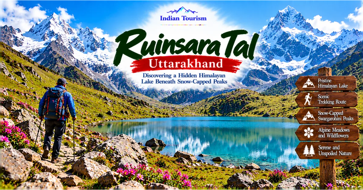
Far inside the Garhwal Himalayas of Uttarakhand, Ruinsara Tal is a beautiful high-altitude lake surrounded by rugged mountain slopes, alpine meadows, rocky terrain, and snow-covered peaks. Located in the Uttarkashi district, this remote lake forms part of the wider trekking landscape associated with the Har Ki Dun and Swargarohini regions. Its secluded setting and dramatic natural surroundings make it an appealing destination for experienced trekkers and travellers who want to explore a quieter side of the Indian Himalayas.
Ruinsara Tal offers a very different experience from the well-developed hill stations and popular tourist towns of Uttarakhand. There are no busy marketplaces beside the lake, no long rows of commercial hotels, and no conventional sightseeing infrastructure. The attraction lies in the journey through the mountains and the opportunity to experience a landscape where natural features dominate the horizon.
The lake is surrounded by a mountain environment that changes dramatically with elevation and season. Forests occupy parts of the lower trekking route, while higher sections lead towards open meadows, rocky slopes, and terrain shaped by snow and water. The distant peaks create a striking backdrop, especially when the weather is clear and the surrounding landscape becomes visible in layers.
For trekkers, Ruinsara Tal is not simply a place to reach and photograph. It is a destination that requires preparation, patience, and respect for the conditions of the high Himalayas. The journey involves walking through remote terrain, managing changing weather, and adapting to the physical demands of altitude. The experience can be deeply rewarding, but it is not suitable for every traveller.
Continue Reading
The lake is particularly attractive to people who value wilderness, landscape photography, mountain ecology, and the quiet atmosphere of remote natural places. Its beauty comes from the relationship between water, mountains, sky, and the surrounding terrain. A visit provides an opportunity to appreciate the Himalayas beyond the familiar viewpoints and crowded destinations.
Understanding Ruinsara Tal also means recognising the importance of responsible travel. High-altitude environments are sensitive to pollution and careless human activity. Visitors must take their waste away, follow local guidance, respect wildlife, and avoid damaging the fragile vegetation around the lake.
Understanding the Location of Ruinsara Tal
Ruinsara Tal lies in the upper Himalayan landscape of Uttarkashi district, Uttarakhand. It is associated with the mountain region that includes the Har Ki Dun Valley, the Swargarohini massif, and several trekking routes through remote parts of the Garhwal Himalayas.
The lake occupies a high-altitude setting where the landscape is shaped by steep mountain slopes, glacial and snow-related processes, streams, and seasonal changes in temperature. The exact appearance of the surrounding terrain depends on the time of year, the amount of recent snowfall, and the prevailing weather conditions.
The journey towards Ruinsara Tal takes travellers away from the more accessible parts of the region and into increasingly remote terrain. Depending on the chosen itinerary, the route passes through forested sections, traditional settlements, open clearings, and higher mountain landscapes. As the elevation increases, vegetation generally becomes less dense, and exposed slopes and alpine environments become more prominent.
The lake's position within this landscape gives it a distinctive character. Rather than being surrounded by extensive development, it remains part of a broader natural environment where the mountains, water, and vegetation define the experience. Its remoteness is a major reason for its appeal, but it also creates practical challenges for visitors.
Facilities are limited along remote trekking routes, and travellers should not expect the services available in major tourist centres. Food, accommodation, emergency assistance, and communication may depend on the arrangements made before departure. A carefully organised itinerary is essential, particularly for people unfamiliar with high-altitude trekking.
The surrounding region also illustrates how quickly Himalayan landscapes can change over relatively short distances. Lower areas may support forests and settlements, while higher ground becomes more exposed and rocky. These transitions create a varied trekking experience and provide opportunities to observe the relationship between elevation, vegetation, water, and climate.
The Natural Beauty of Ruinsara Tal
The visual appeal of Ruinsara Tal comes from the contrast between the lake's water and the rugged mountain landscape surrounding it. The combination of open sky, steep slopes, distant snowfields, and alpine vegetation creates a setting that feels very different from the green valleys and forested foothills lower down the mountains.
On clear days, the surrounding peaks can appear sharply defined against the sky. Their colours change with the movement of sunlight, shifting from pale grey and blue in the morning to warmer tones later in the day. Clouds can transform the scene just as quickly, hiding the upper slopes before revealing them again through breaks in the mist.
The lake itself provides a central point around which the landscape unfolds. Its appearance changes according to light, wind, cloud cover, and season. When the surface is relatively calm, reflections may create a sense of symmetry between the water and the surrounding mountains. During windy conditions, ripples break up those reflections and give the water a different texture.
The terrain around the lake may include patches of grass, low-growing plants, rocks, and exposed soil. These features are part of a high-altitude environment where growing conditions are demanding and the vegetation is adapted to a relatively short season.
For photographers, the lake offers opportunities to capture wide landscape views as well as smaller details. A photograph may focus on the water and distant peaks, or it may include nearby rocks, alpine plants, and the changing patterns of light. The surrounding landscape is often more interesting when photographed from several perspectives rather than from a single viewpoint.
Visitors should remember that mountain weather can change rapidly. A clear morning does not guarantee favourable conditions throughout the day. Mist, rain, strong winds, and cold temperatures can develop with limited warning. Travellers should therefore plan activities around safety rather than attempting to remain outside for a particular photograph.
Ruinsara Tal and the Swargarohini Mountain Landscape
The Ruinsara Tal region is closely associated with the Swargarohini mountain group, whose dramatic peaks contribute to the visual identity of this part of Uttarakhand. The mountain landscape is a major attraction for trekkers, photographers, and people interested in the geography of the western Himalayas.
Swargarohini is a prominent mountain massif in the Garhwal Himalayas. Its rugged ridges, steep faces, and snow-covered upper slopes create an imposing presence in the surrounding region. The massif is also associated with stories and religious traditions connected with the Himalayas, although cultural interpretations vary and should be understood within their respective traditions.
For visitors travelling towards Ruinsara Tal, the mountain scenery is part of the wider experience. The journey gradually reveals different views of the surrounding ridges and valleys, depending on the route, elevation, and weather. The peaks may appear close in clear conditions, while cloud and mist can create a more distant and mysterious atmosphere.
The mountains also demonstrate the scale and complexity of the Himalayan environment. Snow accumulation, freezing temperatures, rock movement, and water flow continually influence the terrain. The landscape is not static, and its appearance changes through both daily weather patterns and longer seasonal processes.
Travellers should never underestimate the hazards associated with high mountain terrain. Steep slopes, unstable rocks, snow-covered ground, and sudden weather changes can create serious risks. The presence of dramatic scenery does not mean that every visible ridge or slope is safe to approach.
Ruinsara Tal should be explored as part of a properly planned trekking itinerary, not as an informal excursion into unfamiliar mountain terrain. Experienced local guidance can help visitors understand the route, assess conditions, and make sensible decisions when the weather changes.
The Trek to Ruinsara Tal
Reaching Ruinsara Tal is a trekking experience rather than a conventional road journey. Visitors generally access the wider region through the Har Ki Dun trekking corridor and continue along trails that lead into the higher mountain landscape.
The precise route depends on the itinerary selected, current trail conditions, and the experience of the trekking group. Some journeys combine Ruinsara Tal with other destinations in the region, while others focus more directly on the lake and surrounding mountains. Travellers should confirm the route and expected walking stages with a knowledgeable operator or guide.
The trek typically involves a combination of forest paths, river valleys, open sections, and higher terrain. The scenery changes as the route progresses, providing a gradual transition from more sheltered landscapes to the exposed environment around the lake.
Walking conditions can vary substantially. Some sections may involve uneven ground, steep climbs, slippery surfaces, or narrow trails. Rain can make the path muddy, while cold conditions may affect exposed sections at higher elevations. The difficulty of the journey depends on the route, season, fitness of the participants, and the amount of equipment they carry.
Trekkers should prepare for long walking days and understand that progress may be slower than expected. A distance that appears manageable in a lowland environment can feel much more demanding at altitude. Rest, hydration, suitable food, and a steady pace are important throughout the journey.
The trek is most rewarding when visitors allow themselves to appreciate the changing landscape rather than focusing exclusively on reaching the lake. Forests, streams, meadows, rocky slopes, and distant mountain views all contribute to the overall experience.
For people new to Himalayan trekking, an experienced guide can provide valuable support. A guide can help with route decisions, weather assessment, local conditions, and the practical demands of walking in a remote environment. Independent travellers should be especially cautious about relying on outdated information or assuming that a route remains unchanged from one season to another.
Forests and Vegetation Along the Route
The lower and middle sections of the trekking landscape towards Ruinsara Tal may pass through forested terrain, providing a contrast with the open and exposed surroundings of the higher lake area.
The types of vegetation encountered depend on elevation, moisture, sunlight, and local terrain. In suitable areas, travellers may see coniferous trees, broad-leaved woodland, shrubs, ferns, mosses, and seasonal flowering plants. As the route climbs, dense forest gradually gives way to more open vegetation adapted to colder and more exposed conditions.
Forest trails can provide shelter from direct sunlight and wind, although conditions vary from one section to another. The canopy creates patterns of light and shade, while streams and damp ground may support mosses and other moisture-loving plants.
These forests are ecologically important. Trees and other vegetation help stabilise soil, support wildlife, and influence how rainfall moves through the landscape. In mountainous terrain, where slopes can be steep and erosion can occur rapidly, healthy vegetation plays an important role in maintaining environmental stability.
The transition from forest to alpine terrain is particularly interesting for travellers who want to understand the relationship between elevation and ecology. Plants growing at higher altitudes must tolerate colder temperatures, stronger winds, and a shorter growing season. Their distribution reflects the difficult conditions found in the upper Himalayas.
Visitors should avoid trampling vegetation unnecessarily or collecting plants as souvenirs. Even small patches of alpine vegetation may take considerable time to recover from damage. Staying on established trails and following the guidance of local trekking staff helps reduce the impact of foot traffic.
The forest sections also provide opportunities to observe birdlife and other signs of wildlife. Travellers who walk quietly may hear birds calling or notice movement among the trees. The experience is often richer when visitors pay attention to the environment rather than treating the forest only as a passage towards the lake.
Water, Streams, and the Formation of the Himalayan Landscape
Water is central to the landscape around Ruinsara Tal. The region's streams, lakes, and rivers reflect the combined influence of rainfall, snowmelt, springs, and the physical structure of the mountains.
At high elevations, seasonal snow and ice contribute to water systems that flow downhill through valleys and rocky channels. These streams shape the terrain over time, carrying sediment, moving stones, and creating channels through softer ground. Their flow changes according to the season and the amount of recent precipitation.
Ruinsara Tal forms part of this wider mountain water environment. Its appearance depends on local conditions, and the surrounding terrain provides clues to the processes that shape high-altitude landscapes. Water, rock, snow, and vegetation interact continuously, creating an environment that changes through both daily weather and longer geological processes.
For visitors, the presence of water adds to the lake's visual appeal. The contrast between the water's surface and the rugged terrain can create striking photographic compositions. Reflections, ripples, and changes in colour provide variety even when the surrounding mountains remain the same.
However, water in the mountains should never be treated casually. Streams may become stronger after rainfall or snowmelt, and rocks near the water can be slippery. Travellers should avoid approaching unstable banks and should never attempt unsafe crossings to reach a preferred viewpoint.
Clear mountain water is not automatically safe to drink. Visitors should use appropriate purification methods and follow guidance from their trekking team. Water sources must also be protected from contamination. Soap, detergent, food waste, and litter should never be introduced into the lake or nearby streams.
The natural beauty of Ruinsara Tal depends partly on the health of its water environment. Responsible behaviour helps preserve the landscape for wildlife, local communities, and future travellers.
Wildlife and Biodiversity Around Ruinsara Tal
The forests, meadows, and mountain slopes surrounding Ruinsara Tal form part of the wider Himalayan ecosystem. Differences in elevation and vegetation create habitats for a variety of birds, mammals, insects, and other organisms.
Wildlife sightings depend on the season, location, weather, and level of human disturbance. Visitors should not expect to encounter particular animals simply because they are associated with the wider Himalayan region. Many species avoid people, and much of the wildlife may remain hidden even when the habitat is healthy.
Birdwatching can be one of the most accessible ways to appreciate biodiversity along the route. Calls may be heard from forested areas, while birds may appear briefly among branches or along the edges of clearings. Travellers who move quietly and remain observant are more likely to notice these details.
The transition from forest to alpine terrain also provides opportunities to observe how species adapt to changing environmental conditions. Vegetation becomes more limited at higher elevations, and the animals that inhabit these areas must cope with colder temperatures, exposed terrain, and seasonal changes in food availability.
Visitors should avoid feeding or approaching wildlife. Human food can alter animal behaviour, while close contact can create risks for both people and animals. Photographing wildlife should never involve chasing an animal or disturbing its natural activity.
Biodiversity conservation is especially important in remote mountain environments, where ecological changes can have wider consequences for water systems, vegetation, and local livelihoods. Responsible trekking helps reduce disturbance and supports the long-term health of the landscape.
Travellers can contribute by carrying all waste away, staying on established paths, and respecting any local restrictions. They should also follow the instructions of guides who understand the area and its environmental sensitivities.
Cultural Stories and the Spiritual Landscape of the Himalayas
The Himalayas hold an important place in many Indian cultural and religious traditions. Mountains, rivers, forests, and remote valleys appear in stories, pilgrimage practices, and regional folklore that have developed over centuries.
The Swargarohini region is associated with traditions concerning the Pandavas and their final journey towards heaven in the Mahabharata tradition. The name Swargarohini is commonly understood in relation to the idea of ascending towards heaven. Interpretations and local stories vary, and these associations should be appreciated as part of the cultural landscape rather than treated as proof of a literal historical event.
Such traditions contribute to the meaning that people attach to Himalayan places. The mountains are valued not only for their physical scale but also for their symbolic associations with pilgrimage, reflection, endurance, and spiritual aspiration.
Visitors exploring Ruinsara Tal may encounter references to these traditions through guides, local conversations, or accounts of the wider region. Listening respectfully can provide a deeper understanding of how geography and cultural memory are connected.
It is important not to assume that every local resident shares the same interpretation of a story or religious tradition. Communities contain different perspectives, and cultural practices may vary between places. Travellers should ask questions politely and avoid turning local beliefs into simplistic tourist narratives.
The remoteness of Ruinsara Tal can also create an atmosphere that encourages quiet reflection. The open sky, surrounding peaks, and relative absence of development may lead visitors to appreciate the landscape in a more contemplative way. Such experiences are personal and do not require any particular religious belief.
The cultural dimension of the region adds depth to the physical journey. Understanding the stories associated with the mountains helps visitors recognise that the Himalayas are both a natural environment and a place of enduring cultural significance.
Best Time to Visit Ruinsara Tal
The best time to visit Ruinsara Tal depends on trail conditions, weather, the chosen itinerary, and the experience of the trekking group. High-altitude travel is particularly sensitive to seasonal changes, so visitors should confirm current conditions before making final arrangements.
Spring: March to April
Spring can bring changing conditions to the lower parts of the trekking route, with fresh vegetation appearing as temperatures gradually rise. However, higher sections may remain cold, and snow can affect access to the lake.
Travellers should not assume that a route is fully accessible simply because conditions are comfortable in a lower town. The weather at high altitude may be very different. A guide or experienced operator can provide information about snow conditions and the suitability of the intended itinerary.
Late Spring and Early Summer: May to June
Late spring and early summer can be favourable for certain Himalayan trekking itineraries, depending on the amount of snow remaining and the condition of the trail. Days may become more comfortable, although nights at higher elevations can remain very cold.
This period may attract more trekkers to the wider Har Ki Dun region. Advance planning is advisable, particularly for transport, accommodation, equipment, and guide arrangements.
Visitors should carry clothing suitable for both warmer walking conditions and cold evenings. Weather can change quickly, and a sunny forecast does not remove the need for preparation.
Monsoon: July to September
The monsoon season creates additional challenges. Heavy rain can make trails slippery, increase the risk of landslides, raise stream levels, and reduce visibility. The landscape may appear greener, but the conditions can be unsuitable for safe trekking.
Visitors should take local warnings seriously and be willing to postpone the journey. A fixed holiday schedule should never take priority over the safety of the group.
Autumn: September to November
Autumn can provide clear mountain views during periods of stable weather. The surrounding peaks and open terrain may be particularly attractive for photography, while cooler air creates a different atmosphere from the warmer months.
Conditions can become increasingly cold as winter approaches. Travellers should confirm that the route remains appropriate for their planned dates and carry sufficient protection against low temperatures.
Winter: December to February
Winter conditions can make the route significantly more difficult. Snow, ice, very low temperatures, and reduced availability of support may affect access to the lake.
Winter trekking should only be considered with appropriate experience, reliable local guidance, suitable equipment, and a careful assessment of current conditions. Visitors should not attempt to reach Ruinsara Tal based solely on photographs or descriptions from another season.
How to Reach Ruinsara Tal
Ruinsara Tal is reached by trekking through the mountain region associated with Har Ki Dun. It does not have direct road access to the lake, so travellers must plan a combination of road transport and walking.
By Road
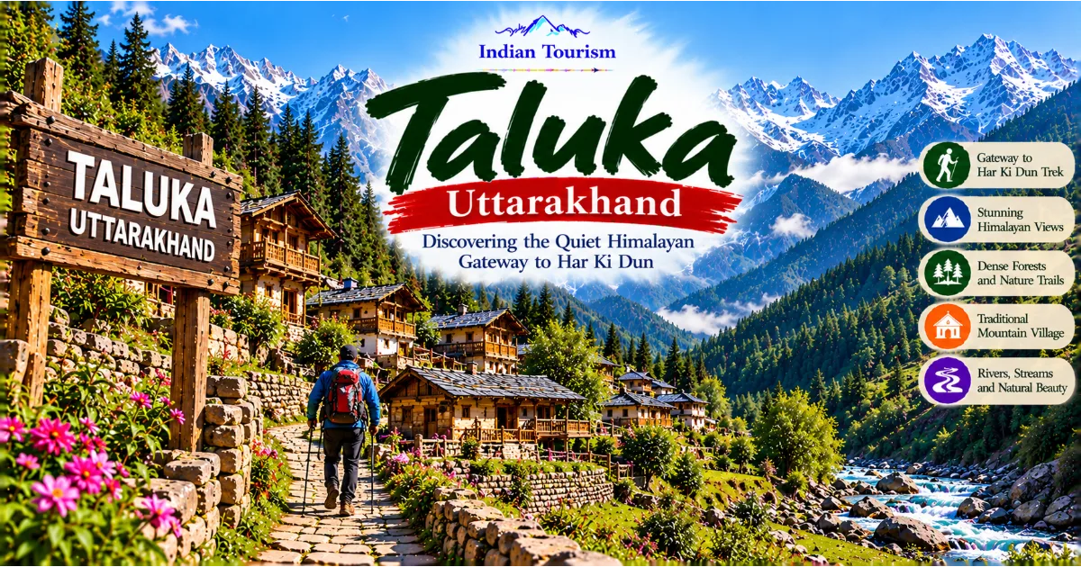
The road journey generally involves travelling towards Uttarkashi district and continuing into the wider Tons valley region. Taluka is a common road-accessible starting point for the Har Ki Dun trekking route, although the exact transport arrangements depend on the chosen itinerary and current road conditions.
Mountain roads may be narrow and winding, and travel times can vary substantially. Weather, traffic, maintenance work, and landslides can affect access. Visitors should confirm the latest road information and avoid relying on estimated travel times without a suitable buffer.
By Train
There is no railway station at Ruinsara Tal or at the lake's immediate trekking approach. Travellers arriving by train need to continue by road towards the appropriate part of Uttarakhand before beginning the trek.
The most suitable railway connection depends on the starting city and current schedules. An overnight stop may be useful before continuing into the mountains, especially after a long journey.
By Air
Ruinsara Tal has no airport. Travellers arriving by air must continue by road to the trekking region and then proceed on foot. The most suitable airport depends on available flights, transport arrangements, and the amount of time available.
A same-day connection between a flight and a long mountain road journey can be stressful. Building flexibility into the schedule helps account for delays and changing road conditions.
Trekking from the Har Ki Dun Region
The final approach requires a planned trekking itinerary. The route may involve several walking stages, overnight stops, and changes in elevation. The exact distance and duration depend on the selected trail and the conditions at the time of travel.
Visitors should arrange suitable guides, equipment, food, accommodation, and emergency planning before departure. Because the lake lies in a remote environment, it is important to be self-sufficient and to understand the limitations of local facilities.
Accommodation and Camping Considerations
Accommodation options become limited as trekkers move into remote parts of the Har Ki Dun and Ruinsara Tal region. Visitors may use simple guest accommodation in accessible settlements and camping arrangements along the route, depending on the itinerary and local regulations.
The type of accommodation available varies according to the season, operator, and current conditions. Travellers should confirm in advance what is provided and what they must carry. They should not assume that the facilities available in a town will continue along a remote trekking route.
Camping in high-altitude environments requires careful planning. Suitable sleeping equipment, weather protection, appropriate clothing, and knowledge of safe campsite practices are essential. Cold temperatures can make nights challenging even when daytime conditions seem comfortable.
Camping arrangements should also follow local rules and environmental guidance. Visitors should use designated or approved sites where required and avoid damaging vegetation. Campfires should not be started unless explicitly permitted and safe under local conditions.
Waste management is particularly important in remote areas. All rubbish should be packed out and carried to appropriate disposal facilities. Food scraps, packaging, and hygiene products must not be left around campsites or near water sources.
Travellers should also understand that emergency support may be far away. The group should have a clear plan for weather changes, illness, injury, and route decisions. A responsible guide can help assess whether the conditions are suitable for continuing.
The experience of camping near a high-altitude lake can be memorable, but it should be approached with respect for the environment and a realistic understanding of the risks involved.
Photography at Ruinsara Tal
Ruinsara Tal offers a range of photographic opportunities, from wide views of the lake and surrounding peaks to close-up details of rocks, water, and alpine vegetation.
The changing light is one of the most interesting features of the landscape. Early morning may bring soft colours and relatively calm water, while later sunlight can highlight the contours of the surrounding mountains. Cloud cover may create a more atmospheric scene, although poor visibility can limit distant views.
Photographers should allow time to explore different perspectives without leaving safe paths. The shoreline may include uneven rocks, wet surfaces, or unstable ground. A photograph is never worth risking a fall or entering an unsafe area.
A wide-angle composition can capture the relationship between the lake and the mountain landscape, while a closer view may emphasise patterns in the water or the texture of nearby rocks. Including a person at a safe distance can help communicate the scale of the surroundings.
Equipment should be chosen according to the difficulty of the trek. A lightweight camera or mobile phone is often sufficient, while heavy equipment can increase fatigue. Protective covers and spare batteries are useful because cold temperatures can affect electronic devices.
Photographers should also remember that the landscape may look different from popular photographs. Weather, season, water levels, and the amount of snow can all influence the scene. The purpose of the visit should be to experience the actual place rather than reproduce an image exactly.
Respecting the environment is essential. Do not move rocks, trample vegetation, leave props behind, or disturb wildlife for a photograph. The best travel photography records the landscape without damaging it.
Responsible Tourism Around the Lake
High-altitude lakes are sensitive environments, and Ruinsara Tal should be visited with a strong commitment to responsible travel. The combination of limited facilities, fragile vegetation, and remote access means that careless behaviour can have lasting consequences.
Waste must be managed carefully. Visitors should carry reusable containers where practical and pack out all rubbish, including small wrappers and food packaging. Waste should never be thrown into the lake, left near campsites, or hidden beneath rocks.
Water quality must also be protected. The lake and nearby streams should not be used as places to wash with soap, detergent, or personal care products. Visitors should follow appropriate water treatment practices and avoid contaminating natural sources.
The surrounding vegetation deserves protection. Alpine plants may grow slowly because of cold temperatures and a short growing season. Walking outside established paths can damage plants and increase erosion, particularly where the ground is already exposed.
Visitors should follow local guidance regarding camping, fire use, wildlife, and route access. Conditions and restrictions may change according to the season or environmental concerns. A responsible traveller accepts these limits rather than attempting to bypass them.
Tourism can also affect the communities that provide transport, guiding, food, and other services. Paying fairly for appropriate services and treating local workers respectfully helps support the people who make remote travel possible.
Responsible tourism does not reduce the adventure. It helps preserve the qualities that make Ruinsara Tal attractive in the first place. A clean lake, healthy vegetation, and an undisturbed landscape are part of the destination's value.
Practical Tips for First-Time Visitors
A trip to Ruinsara Tal requires more preparation than a visit to an accessible tourist viewpoint. Travellers should consider the physical demands of the trek, the limitations of remote infrastructure, and the possibility of sudden changes in weather.
Clothing should be selected for cold, wind, and rain. Layering allows visitors to adjust to changing conditions, while a waterproof outer layer helps protect against precipitation. Warm gloves, suitable socks, and a hat may be useful when temperatures drop.
Footwear should provide reliable grip and support on uneven terrain. It is advisable to use footwear that has already been tested on long walks rather than relying on brand-new shoes during the trek.
Personal medication and a basic first-aid kit should be carried. Travellers should also bring sun protection, personal hygiene supplies, and any equipment required by the trekking operator. Those with medical conditions that could affect strenuous activity or altitude exposure should seek professional advice before undertaking the journey.
Hydration and nutrition are important during high-altitude walking. Visitors should follow their guide's advice about water, meals, rest, and pacing. Continuing despite signs of serious illness or altitude-related problems can be dangerous, so symptoms should be reported promptly.
Mobile connectivity may be limited. Essential details should be available offline, and travellers should share their itinerary with a trusted contact. The group should understand its emergency plan before leaving areas with better access to services.
Finally, remain flexible. Weather and trail conditions may require changes to the itinerary. The safest decision may be to delay or abandon the attempt to reach the lake. A successful mountain journey is not defined solely by reaching a destination, but by making sound decisions throughout the trip.
Who Should Visit Ruinsara Tal?
Ruinsara Tal is best suited to travellers who enjoy trekking, remote landscapes, and the experience of spending time in a high-altitude environment. It can be particularly rewarding for experienced walkers, landscape photographers, and nature enthusiasts who are comfortable with limited facilities.
The destination is less suitable for travellers who want an easy road trip, extensive shopping, luxury accommodation beside the lake, or a short visit without significant physical effort. The journey requires time, preparation, and an understanding of mountain conditions.
Beginners may be able to visit as part of an appropriately selected guided itinerary, but they should not underestimate the physical demands. The difficulty depends on the route, season, group fitness, and weather. A professional assessment of suitability is more useful than relying on a destination's reputation as beautiful or popular.
Photographers may appreciate the dramatic scenery, while nature enthusiasts can observe changes in vegetation and terrain along the route. People interested in Himalayan geography may find the relationship between water, elevation, and mountain processes especially interesting.
The destination is most rewarding for visitors who are willing to accept simple facilities and changing conditions. Its appeal lies in the natural environment rather than in commercial entertainment or conventional tourist infrastructure.
Exploring the Wider Har Ki Dun and Swargarohini Region
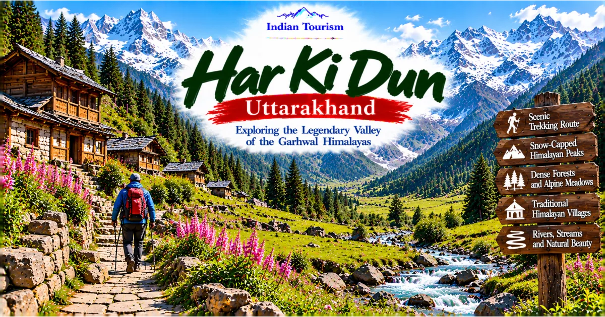
Ruinsara Tal forms part of a wider landscape that includes the Har Ki Dun Valley, traditional mountain settlements, forested slopes, and the dramatic peaks of the Swargarohini region. Exploring the area offers a chance to understand how these different environments fit together.
Taluka commonly serves as a starting point for trekking into the Har Ki Dun region. From there, visitors travel on foot through the mountain landscape, passing settlements and natural features that provide different perspectives on the region.
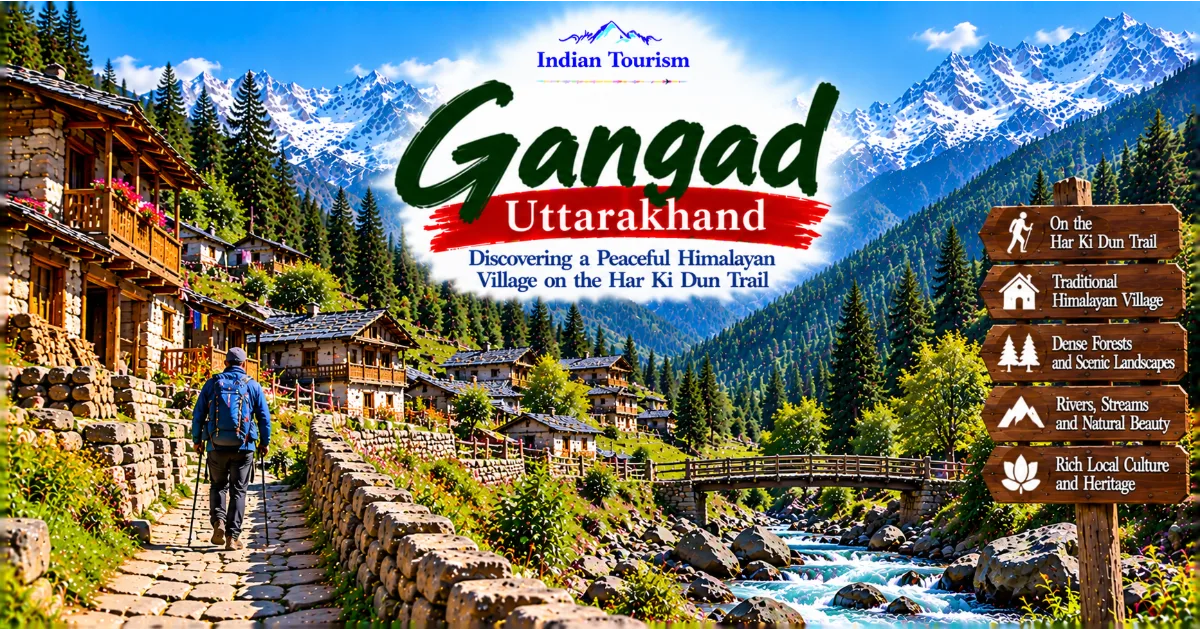
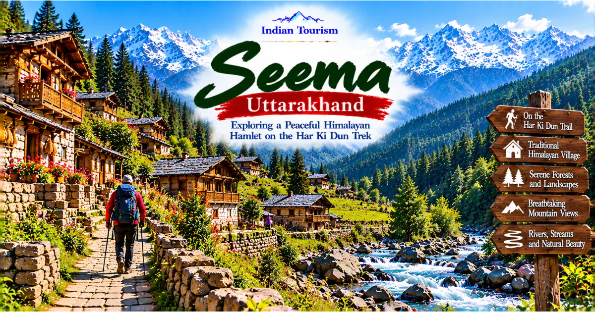
Osla, Seema, and Gangad are among the villages associated with the wider trekking corridor. Their settings illustrate how people have established homes and livelihoods within a landscape shaped by steep slopes, forests, rivers, and seasonal conditions.
Har Ki Dun itself is known for its open valley scenery and mountain views. Ruinsara Tal offers a different experience, with the lake providing a focal point within a more remote high-altitude environment. Depending on the itinerary, combining destinations may require additional walking days and careful planning.
Travellers should not assume that all locations can be visited in a single short excursion. Distances, elevation changes, weather, and trail conditions can make the journey demanding. The route should be designed around the abilities of the group and the time available.
The wider region is best appreciated as a connected landscape rather than a checklist of places. Forests, settlements, streams, meadows, and high mountain lakes each contribute to the character of the journey. Spending time to understand these connections can make the experience more meaningful than simply reaching a famous viewpoint.
Conclusion: Ruinsara Tal, a Remote Himalayan Landscape Worth Protecting
Ruinsara Tal is one of the compelling natural destinations associated with the high mountain landscape of Uttarakhand. Its setting beneath dramatic Himalayan peaks, its connection with the Har Ki Dun trekking region, and its remote atmosphere make it appealing to travellers seeking an experience beyond conventional tourism.
The lake's beauty lies in the relationship between water, mountains, sky, and the surrounding terrain. Reaching it requires a journey through changing landscapes, from forested trails to more exposed high-altitude environments. The trek provides opportunities to observe the geography, ecology, and cultural context of the Garhwal Himalayas.
However, the remoteness that makes Ruinsara Tal attractive also requires responsibility. Travellers must prepare for cold conditions, changing weather, limited facilities, and the physical demands of walking at altitude. They should follow local guidance, respect environmental restrictions, and be willing to change plans when conditions become unsafe.
The lake should also be understood as part of a fragile natural environment. Waste, careless camping, damage to vegetation, and contamination of water can reduce its value for future visitors and affect the wider ecosystem. Responsible travel is therefore essential to protecting the destination.
For people who appreciate quiet landscapes, mountain trekking, and the opportunity to experience the Himalayas at a slower pace, Ruinsara Tal can be deeply memorable. The journey is not simply about reaching a lake. It is about experiencing the transition from forest to alpine terrain, observing the scale of the surrounding mountains, and recognising the natural processes that shape this extraordinary region.
Ruinsara Tal reminds travellers that some of India's most remarkable destinations are not defined by elaborate facilities or easy access. Their value comes from their natural character, the effort required to reach them, and the responsibility visitors carry to leave them as undisturbed as possible.
#IndianTourism #UttarakhandTourism #RuinsaraTal #HarKiDun #Swargarohini #GarhwalHimalayas #Uttarkashi #HimalayanTrekking #HighAltitudeLakes #MountainPhotography #NatureTravel #ResponsibleTourism #ExploreUttarakhand #HiddenPlacesOfIndia